Storm Patterns in Madison County
What Drives Emergency Calls Here
Jackson’s position in West Tennessee puts it in the path of severe weather systems that develop over the Mississippi River valley and move northeast. The storms that generate the most emergency calls in Madison County follow predictable patterns once you’ve been responding to them for as long as we have.
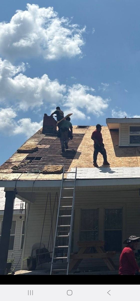
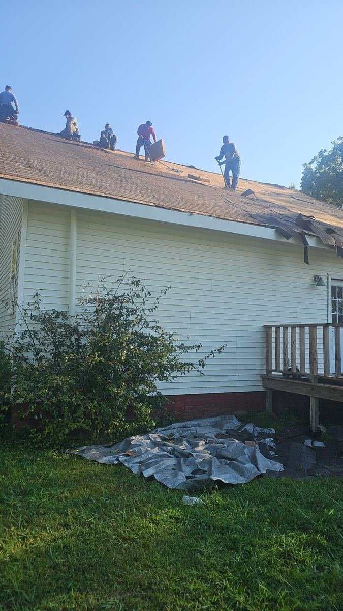
Tornado and straight-line wind events in April and May cause the most severe structural damage. Roof sections get lifted or removed entirely, ridge damage is common, and the combination of high wind and heavy rain that typically accompanies these systems means water intrusion happens fast. East Jackson and properties on elevated ground throughout the county see some of the highest damage rates during these events.
Summer thunderstorms from June through August generate hail and localized wind damage that’s less dramatic than spring tornado events but still requires emergency response when it hits directly. The compressed time between storm development and impact during summer afternoon storms means damage can happen with very little warning.
Ice storms in January and February are less frequent but cause significant damage when they happen. Ice accumulation is heavy, and the weight load on older roofing systems in North Jackson’s historic neighborhoods can cause sudden failures. We respond to ice storm damage throughout the winter months when conditions allow safe access.